
International and English-speaking French students
Master’s students and young graduates in engineering, business, data, environmental studies or political science
A genuine interest in space and earth environmental challenges. No prior space background required
English (fluency is mandatory)
Two-week, full-time programme
Paris
2 weeks : 1st–12th February 2027
€2,500 per participant, accommodation included
Program Manager
Winter School IPSA – Space for non space applications
Jean-Philippe Régnault
Executive Leader | AI • Space Economy • Digital Twins | Space Economy Expert at Institut Sapiens | Professor at IPSA | Former Accenture Managing Director
Program
Winter School IPSA – Space for non space applications
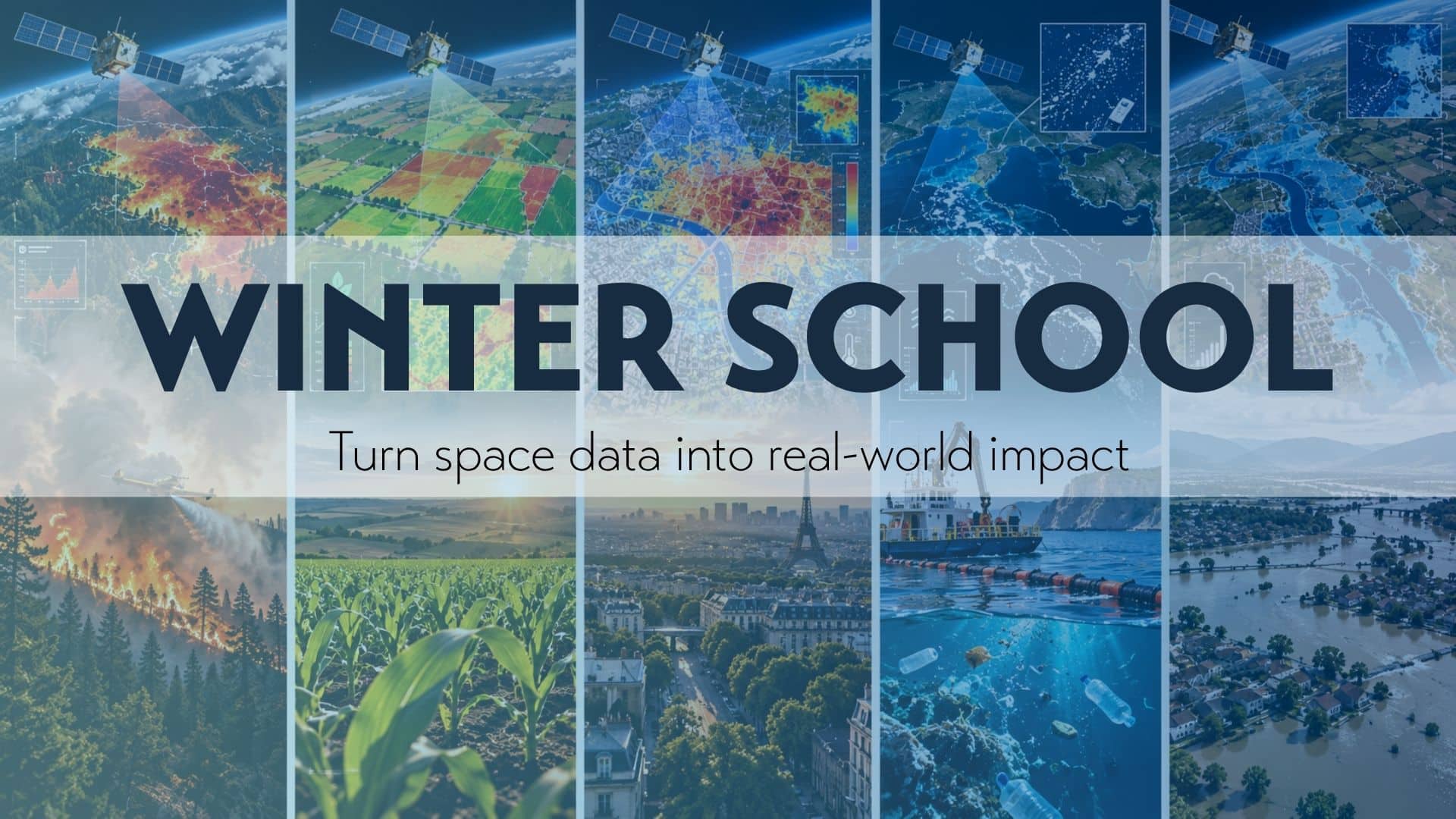
The IPSA Winter School offers an intensive, hands-on programme at the intersection of space technologies, data science, artificial intelligence and climate resilience. Participants will explore the full journey from collecting satellite and Earth observation data to processing it through machine learning and AI models, combining multiple data sources and transforming insights into actionable solutions. Inspired by the hackathon format, the programme challenges multidisciplinary teams to address real-world resilience issues, supported and mentored by industry professionals and experts in their respective fields.
Between the two weeks of intensive learning and collaborative project work, participants will enjoy a weekend discovering Paris. This opportunity to explore the French capital will offer a cultural break between the programme’s two phases, encouraging international exchanges and strengthening connections among participants from different backgrounds and disciplines.
Case studies
Winter School IPSA – Space for non space applications
Throughout the Winter School, each participant will commit to one of five real-world challenges: wildfire resilience, cool cities, flood resilience, agriculture resilience or ocean resilience. Working in multidisciplinary teams, participants will apply their knowledge of space data and AI to develop practical, innovative solutions to address these challenges. The objective is to turn space-based data into actionable insights and concrete projects that strengthen Earth’s resilience to climate change.
01. Wildfire Resilience
Combine satellite imagery, drones and ground sensors to help forest managers anticipate, detect and recover from wildfires
Satellite imagery can help identify areas at risk, monitor vegetation conditions and detect signs of emerging fires over large forested regions. By combining these observations with drone imagery and ground sensor data, teams will explore how to refine fire-risk maps, locate hotspots and provide emergency services with more accurate information to plan interventions and monitor recovery.
02. Cool Cities
Use satellite heat maps and vegetation data to help cities identify where to plant, create shade or redesign public spaces
Thermal satellite imagery can reveal urban heat islands by mapping temperature variations across neighbourhoods, streets and buildings. By combining these maps with vegetation cover, land use and urban planning data, teams will investigate where green spaces, tree planting, shaded areas or redesigned public spaces could have the greatest impact on reducing heat exposure and improving urban resilience.
03. Flood Resilience
Explore how radar satellite data could help assess floods and accelerate insurance compensation
Radar satellites can monitor flooded areas even through clouds and at night, helping map the extent of inundation and identify affected buildings, infrastructure and agricultural land. By combining satellite observations with rainfall, river-level and flood-risk data, teams will explore how to assess damage more rapidly, support insurers in verifying claims and develop data-driven approaches to faster, more transparent compensation.
04. Agriculture Resilience
Combine satellite, drone and field data to detect plant diseases and help agricultural stakeholders act sooner
Satellite imagery can reveal changes in crop health, vegetation density and water stress, helping identify potentially affected areas before symptoms become clearly visible across a field. By cross-referencing these observations with drone imagery, weather information and on-site inspections, teams will investigate how to detect early signs of disease, target field interventions and help farmers and agronomists make more informed decisions while reducing unnecessary treatments and crop losses.
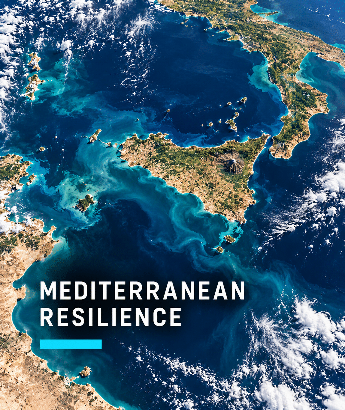
05. Mediterrean Resilience
Combining space-based observations with sea models and targeted cleanup operations and prevent plastic pollution
Satellite observations and ocean circulation models can help identify potential accumulation zones and predict how floating waste moves with currents, winds and weather conditions, particularly in the Mediterranean Sea. By combining these insights with information from drones, vessels and at-sea observations, teams will explore how to prioritise cleanup areas, optimise vessel routes and develop solutions that make plastic collection more targeted and effective.
_______________________